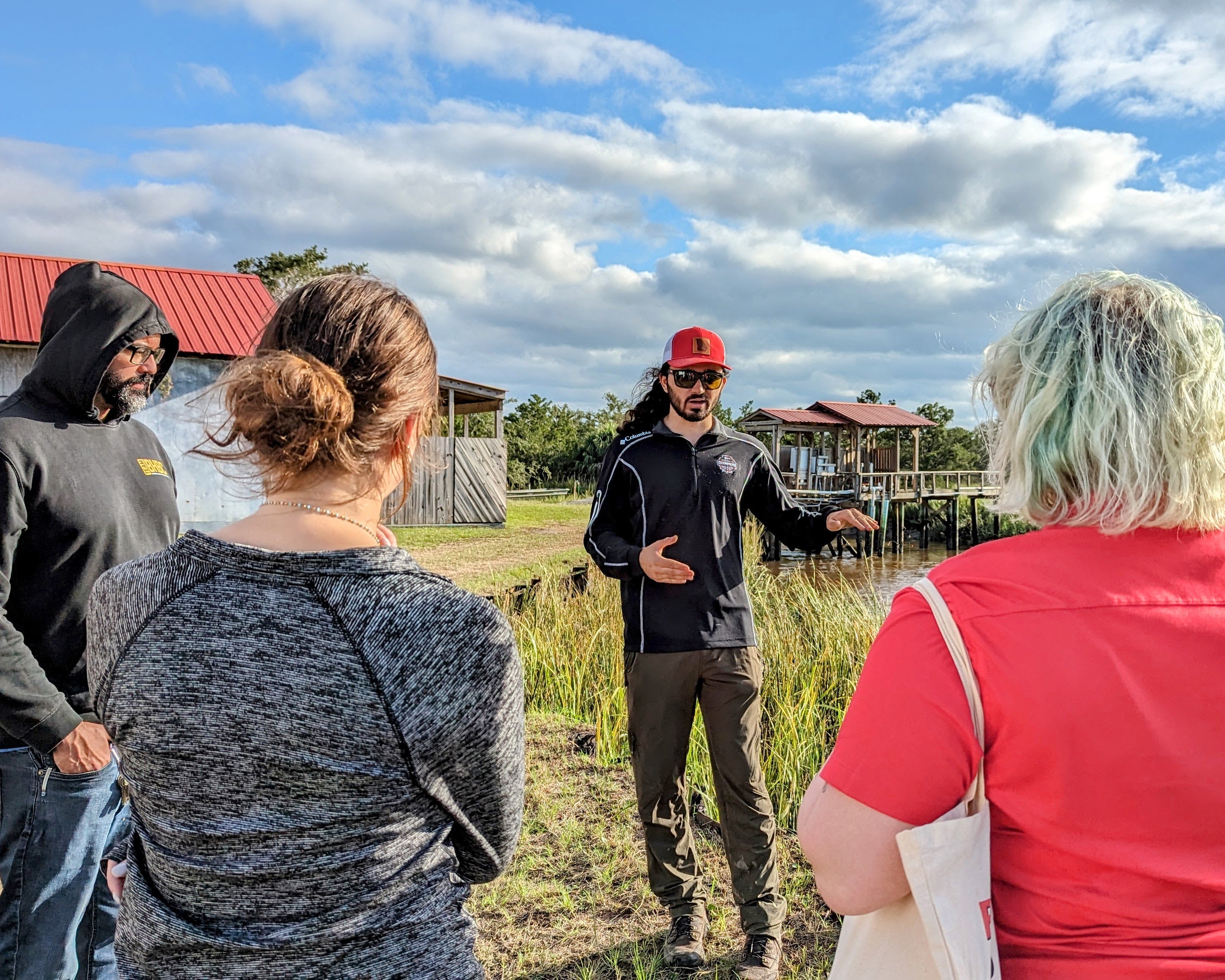
Students in the College of Engineering collaborated with the UGA Office of Emergency Preparedness and Insurance & Claims
Management (OEP/ICM) and the UGA Marine Institute (UGAMI) on Sapelo Island on a yearlong
capstone project to develop flood control techniques for the UGAMI campus. Their work
earned first-place recognition for its impact on coastal communities.
Sapelo, one of Georgia’s barrier islands, is home to UGAMI, which supports research
and education in coastal ecosystems. The institute’s campus is situated along a tidal
creek, making it vulnerable to severe weather events.
Engineering students Clare Deberry, Skylar Gray, Benjamin Smith and Sarah Younce were
tasked with assessing the site, developing storm surge models, and designing potential
solutions to mitigate flooding that could endanger UGAMI’s staff and campus.
Read More
>> Follow us on LinkedIn for more <<


